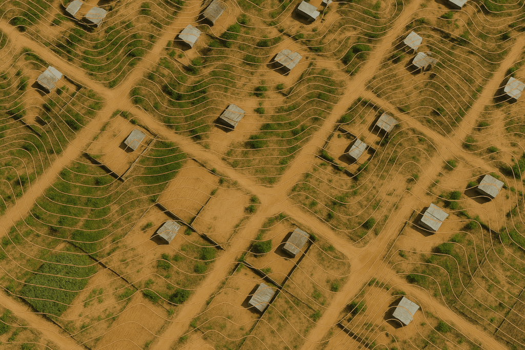
High-precision aerial mapping services with RTK/PPK drones, orthophotos, 3D modeling, contour lines, and point clouds.
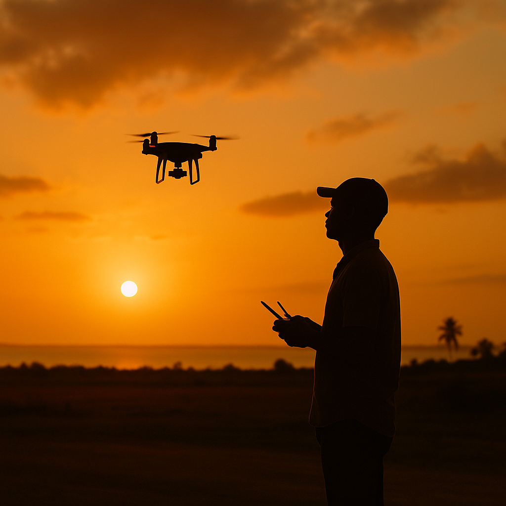
Aerial image capture in 4K, promotional and institutional videos, documentaries, virtual tours, and FPV drone work.
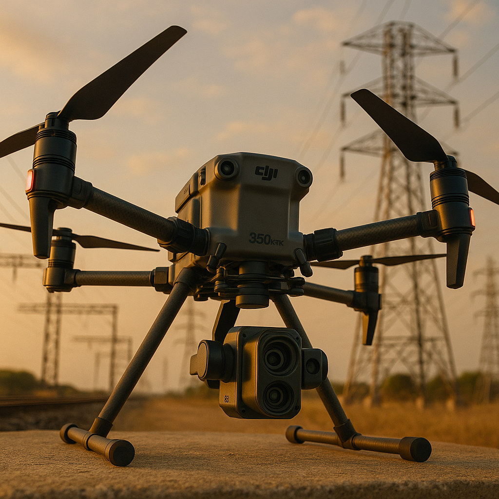
Technical infrastructure inspection using thermal sensors, zoom, Lidar, and the delivery of detailed technical reports.